
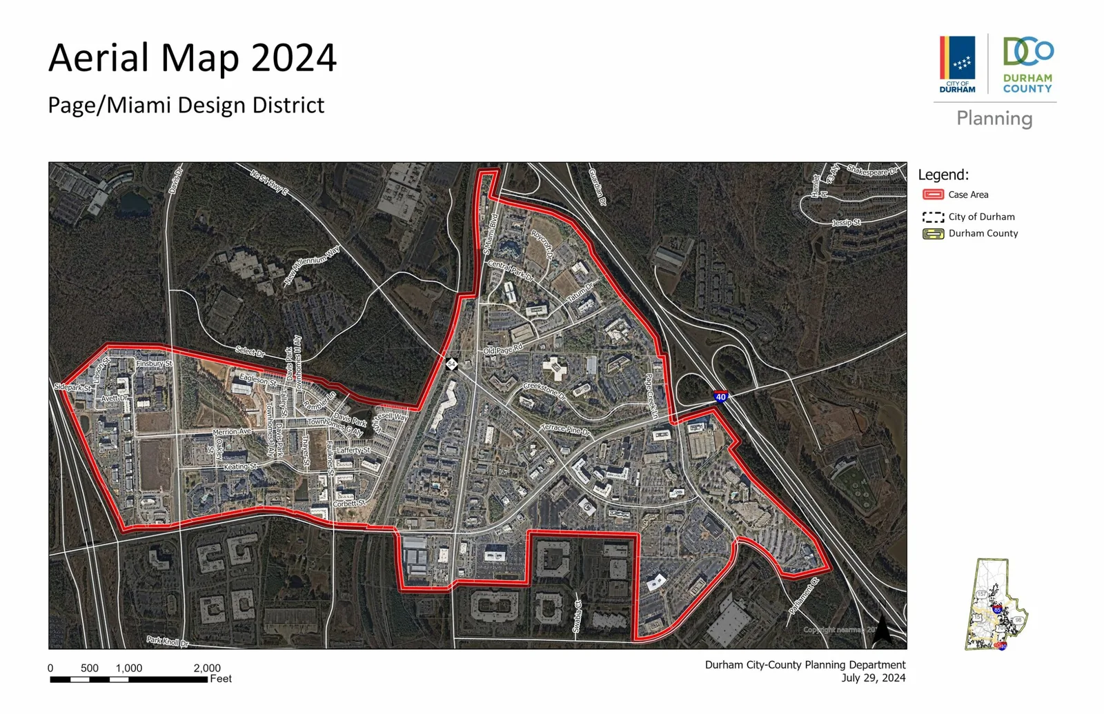
The Durham City-County Planning Department prepared a zoning map change for the Page/Miami Design District, an area southeast of Research Triangle Park (RTP) between NC Highway 54, Davis Drive, Hopson Road, Page Road, and South Miami Boulevard. Since the proposal was a staff initiated rezoning the City is the applicant in this case. For background, staff was asked by members of the Joint City-County Planning Committee to take on this effort in advance of the New UDO.
The purpose of the new zoning is to encourage transit-oriented development, support future publicly funded multimodal projects (like bus rapid transit, passenger rail, or bicycle and pedestrian improvements), and promote equitable development using the affordable housing density bonus.
Due to new state legislation, staff requested consent from property owners in the project area to change the zoning. This rezoning proposal was not as comprehensive as originally planned –which is what the Planning Commission reviewed in October-- and encompasses 25.41 acres, as staff was unable to gain consent from all property owners in the project area. However, the folks interested in the rezoning have projects in process or would soon have the opportunity to pursue projects.
The new proposal shows 5 clusters of rezonings from Commercial General and Light Industrial to Compact Suburban Design District Core, Office and Institutional to Residential Urban Multifamily and Commercial Neighborhood with a textual development plan as well as Rural Residential to Compact Suburban Design District Support 1.
Finally, Staff proposed Place Type Map amendments and a Unified Development Ordinance Text Amendment (TC2400002) concurrently with the rezoning.
Q: What is zoning? A: Zoning refers to a series of laws that regulate the density, location, size, use, and type of buildings allowed on parcels of land.
Q: What is rezoning? A: A Zoning Map Change (ZMC) or “rezoning” refers to the process by which an application has been submitted to change the zoning designation for a particular parcel (or set of parcels) of land, often resulting in a different set of uses, densities, intensities, and other site characteristics than those currently allowed.